
What's new? September 2026 - Custom Layers and Usability Improvements

This month was all about small but useful improvements. Custom Layer colours now actually stick, the Sites Map has a new Tags filter, polygon error messages are clearer, and you can track ballot application status directly in Carbon Intelligence.
New Features
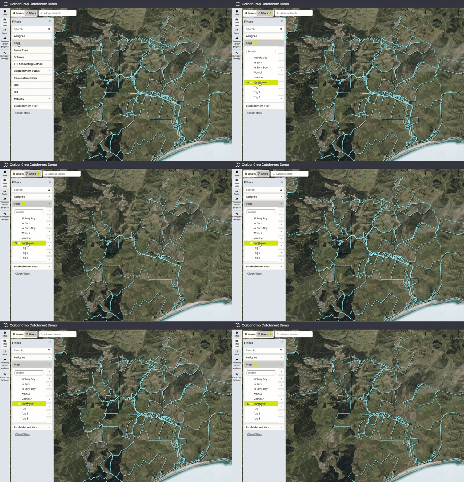
Tags Filter on Sites Map - Add a tags filter to the sites map to quickly find the sites you're after.
Custom Layers Remember Their Colours - Colour changes on vector layers in Custom Layers now persist, so they won't reset when you switch sites, reload the page, or come back the next day.
QEII Layer Colour - We've updated the colour used for QEII covenant layers, so they're easier to pick out on the map.

Better contrast by default on QEII covenants Area for Multiple Selected Polygons - Select more than one polygon in Custom Layers and you'll now see the combined area, rather than having to add it up yourself.
Clearer Errors for Excluded and Scattered Polygons - Excluded, ineligible, scrub, and scattered forest polygons now show clearer error messages, so it's easier to understand why a polygon has landed in one of these categories.
Cleaner Eligible Category Labels - We've removed the word "ETS" from Eligible categories, so the labels are simpler and less repetitive.

Expanded Planting Card on Draw - The expanded planting card now appears as soon as you draw a polygon, instead of requiring an extra step.
"Planting" is now "Establishment" - We've renamed "Planting" to "Establishment" in the planting card to better reflect what the field actually captures.
Longer Scheme Dropdown - The scheme dropdown is now wider, so longer scheme names no longer get cut off.
Ballot Application Status in Carbon Intelligence - You can now track the status of your ballot applications directly in the platform by polygon.
Bug Fixes
Fixed an issue where uploading a registered shapefile didn't set the year or species.
Fixed a crash in the Financial Engine caused by having multiple historic segmentation layers.
Fixed an issue where the triple dots menu and eye icon wouldn't always appear when hovering over a layer.
Fixed an issue causing some task pages to show a server error.
Stay tuned for more updates next month!


Comments