
What's new? October 2026 - Custom Layer Legends and Labels

Last month your layer colours started sticking around, and this month we've made them mean something.
New Features
Custom Layer Legends and Labels
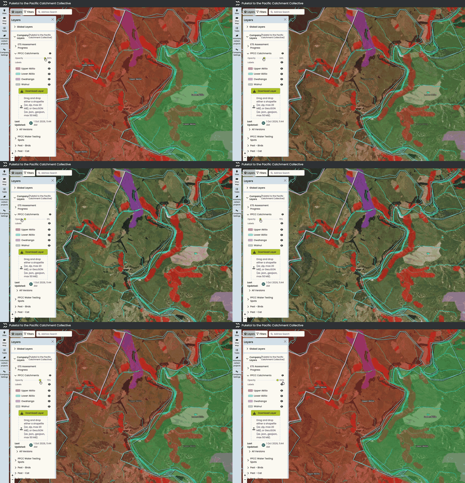
Layers can now show labels right on the map. If the features in a vector layer you upload have a map_label property, that value shows as a text label on each polygon, so your catchments, blocks or paddocks are named right where they sit. There's a Labels switch in the layers panel too, so you can turn them on and off for each layer.
Raster layers get legends. A custom raster layer can hold a lot of useful information, but until now there was no way to tell what the colours meant. A landslide susceptibility layer is just a pretty gradient if nobody knows which end is the risky one.
You can now add a legend or a colour range to your custom raster layers. A legend is a list of colours, each with its own description. A colour range has a start colour, an end colour and a description, which suits data that runs on a scale. You can set one up when you add a new raster layer, or edit the legend on an existing one. It shows in the layers panel just under the opacity slider, so anyone looking at the map can tell what they're looking at.

What Else?
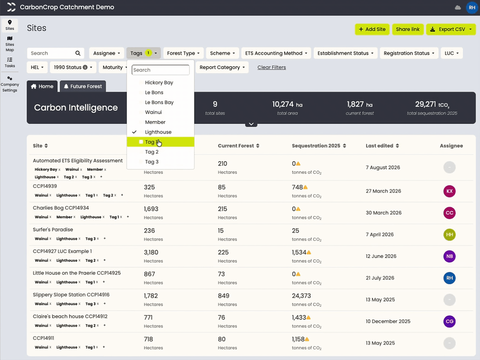
Match any tags - When filtering sites by tag, you can now choose between "Match all" and "Match any". That's handy when a farm sits across two sub-catchments and you want every site tagged with any one of a set of catchments.

Notifications when you're tagged in site comments - You'll now get a notification when someone tags you in a site comment or a map pinned comment, the same as you already do in tasks.
Forest Changes shapefile updates - The ETS Forest Changes shapefile download now has two year fields, "Year the registered forest was planted" and "Report changes up to", so you can set the reporting window yourself. If some changes can't be reported to Tupu-Ake, you'll see a warning listing them, and the rest of the download still goes through. Polygons with more than one rotation now report each rotation correctly.
Faster split and reshape on large sites - Drawing a split or reshape line on sites with lots of polygons is now much more responsive, and finishing the edit is quicker too.
Bug Fixes
Fixed an issue where searching "CCP" in the company sites list returned no results.
Uploading segments downloaded from another site now keeps establishment year and species on the planting card.
Uploading a pre-2023 ETS shapefile now sets the predominant species for Douglas fir and Pinus radiata polygons.
Stay tuned for more updates next month!


Comments